|
|
|
Wetland
Mitigation Banks
Credits for Sale (Jump to Upland Conservation Banks) |
 Update 8/31/2025There are a few unreserved Phase C Credits that will be available for transfer. Instructions have been sent via email regarding participating in a bidding process for the credits. Please constact the numbers below if the email was not received.David Speirs Daniel Tesini While there is no certainty on timing, we are planning for the next release after Phase C to occur sometime in 2026. We appreciate your patience! |
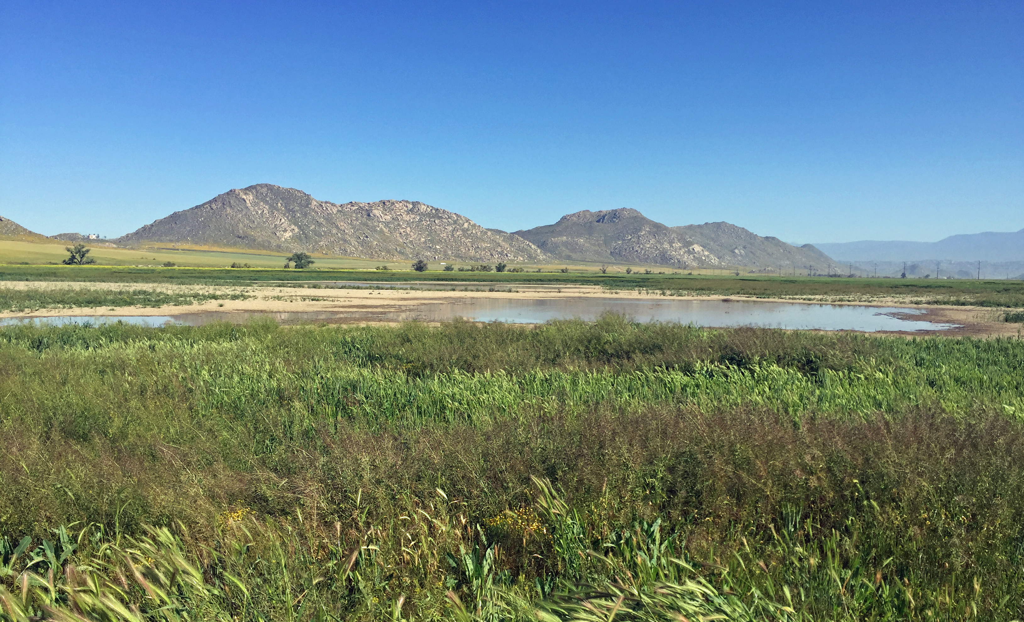 The Bank
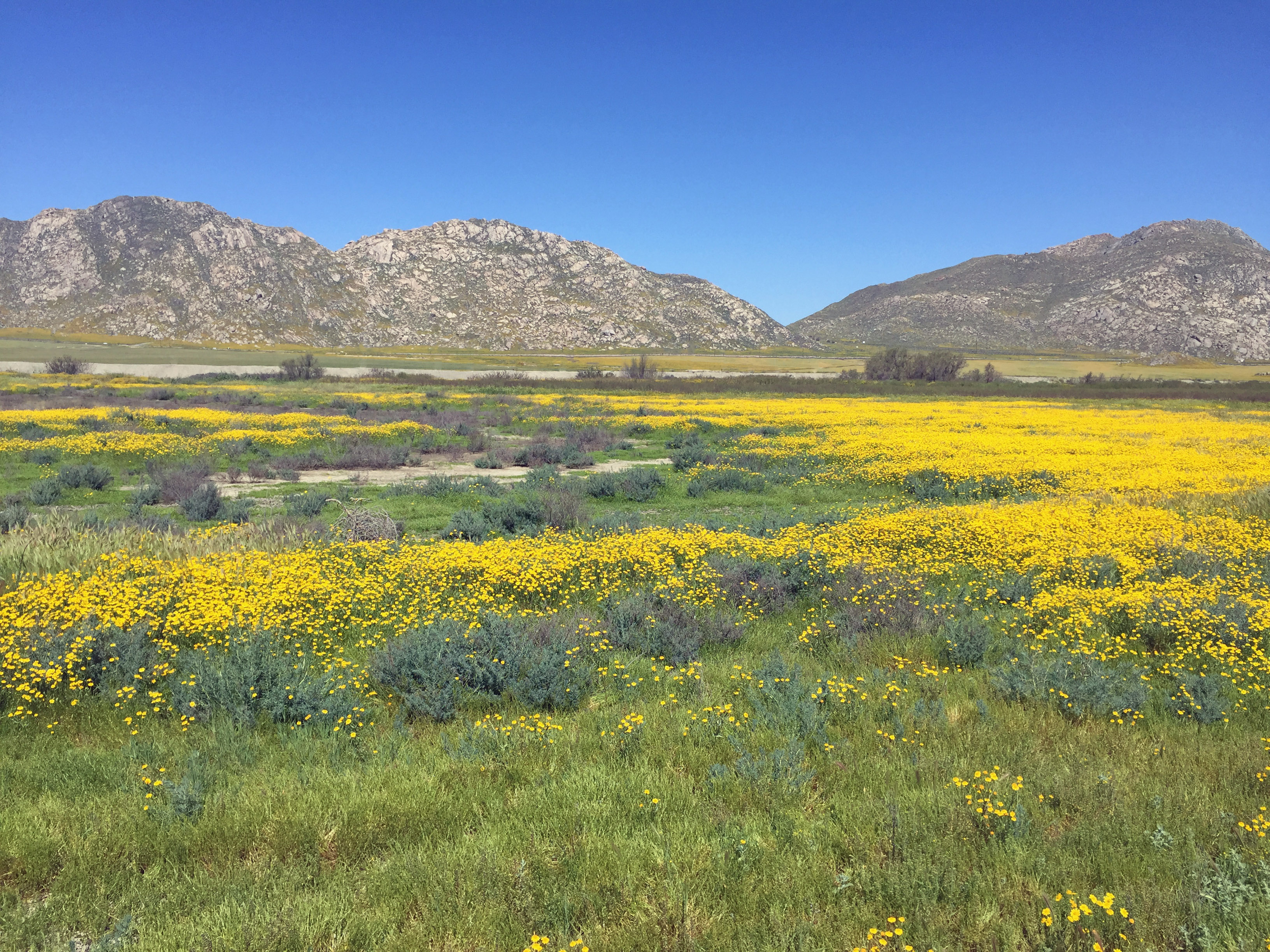
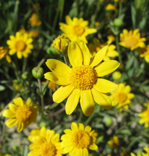
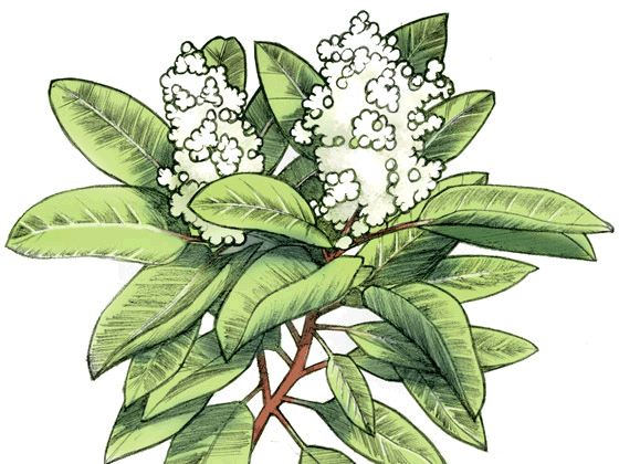
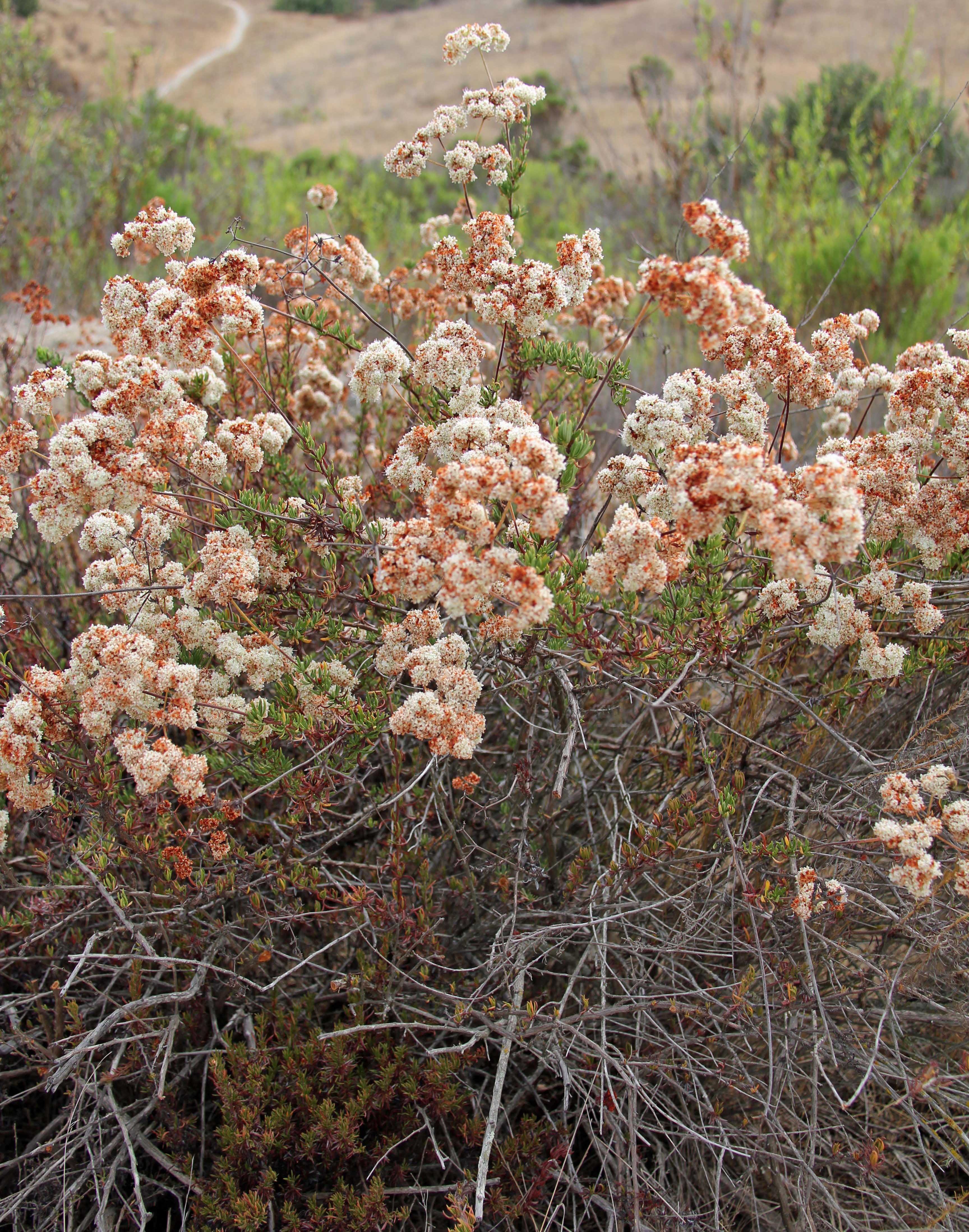
habitat supports a diversity of unique, native hydrophytes. Several
species of sensitive plants and animals occur on this 600-acre portion
of the floodplain, including smooth tarplant, spreading navarretia, San
Jacinto Valley crownscale, and Coulter’s goldfields. The Bank
permanently preserves and manages an important ecological resource in
Riverside County.
 |
  Regional Location Map Call or email for pricing and purchase contracts.mccollum@mccollum.com (916) 708-2727Barryjones_seb@yahoo.com (619) 742-2068 |
|
|
||
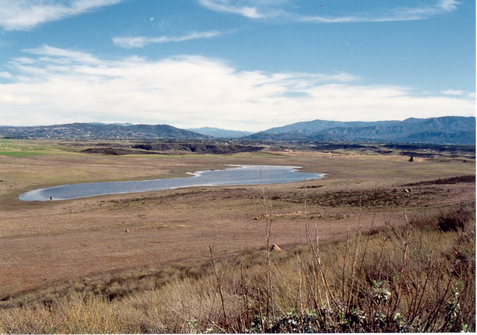
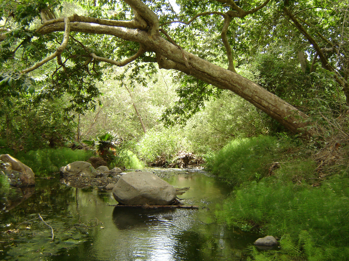
 SOLD OUT (RBV Mitigation Credits, LLC). Wetland/Vernal Pool. Temecula. Service Area: Western Riverside County. Click here for the Bank Service Area Update 10/7/2024: All credits from this bank are sold and the bank will soon be formally closed. Thank you to all our customers for your support over the years. This bank incorporates the Skunk Hollow Vernal Pool. With a water surface area exceeding 33 acres, this is the second largest vernal pool in the state. It provides habitat for numerous threatened and endangered species of plants and animals, including the Riverside fairy shrimp. This preservation mitigation bank has approximately 136 wetland credits, or functional units, for general wetland impacts in western Riverside County. The bank is formally permitted by the Army Corps of Engineers, U.S. Fish and Wildlife Service, and Department of Fish and Game. The bank is fully endowed and managed by the Center for Natural Lands Management. This is a preservation bank . . . in other words, mitigation for "No Net Loss" must be accomplished at another wetland creation site for the first 1:1 mitigation obligation. The balance of any mitigation ratio (e.g. 2:1) can be accomplished at the Barry Jones Bank. The bank can be used for low or high quality wetland impacts. Credits are available now for sale! Click here for a Location Map. Click here for a list of Wildlife Species Found at Skunk Hollow |
||
 |
|
|
|
|
||
 |
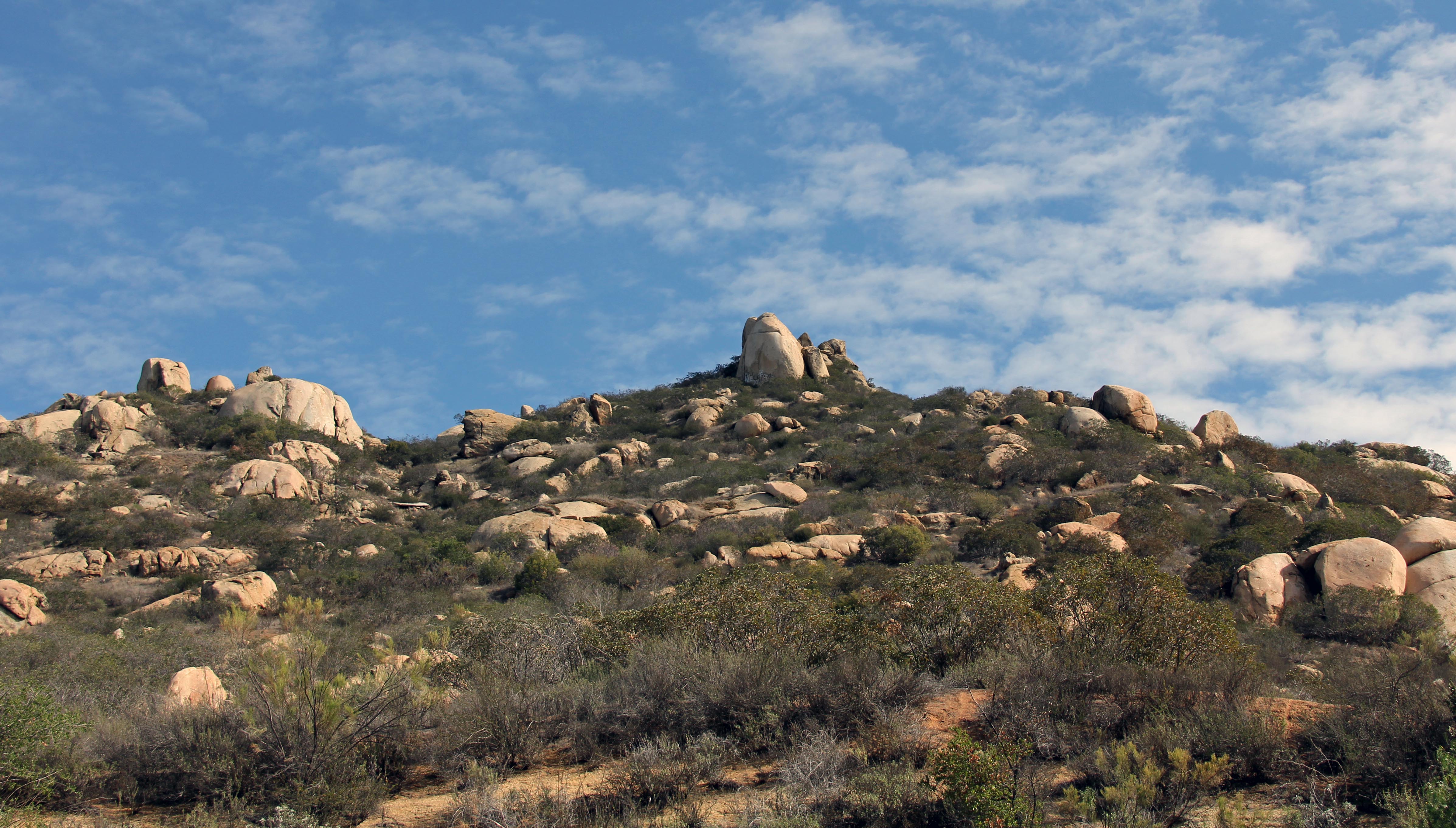
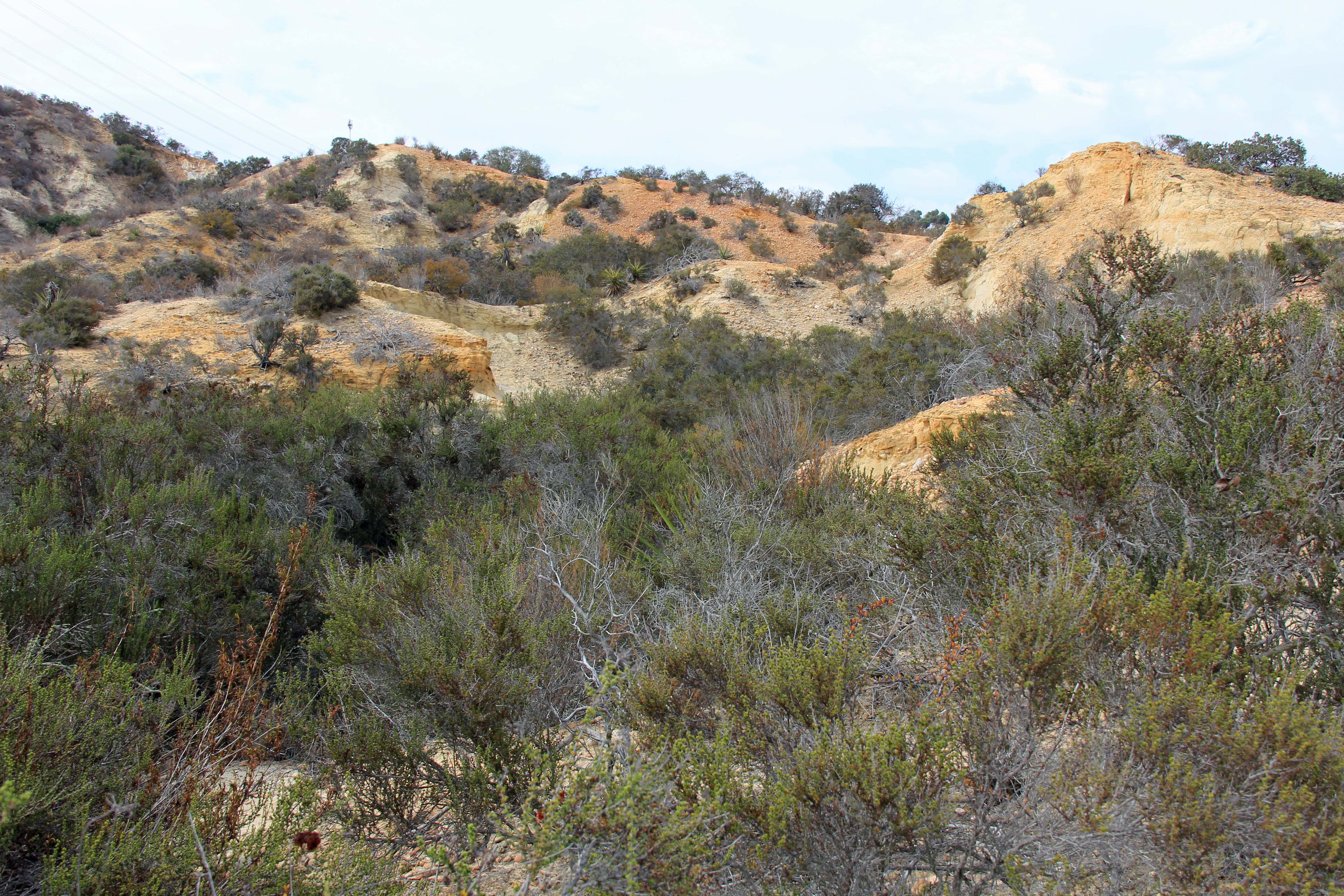
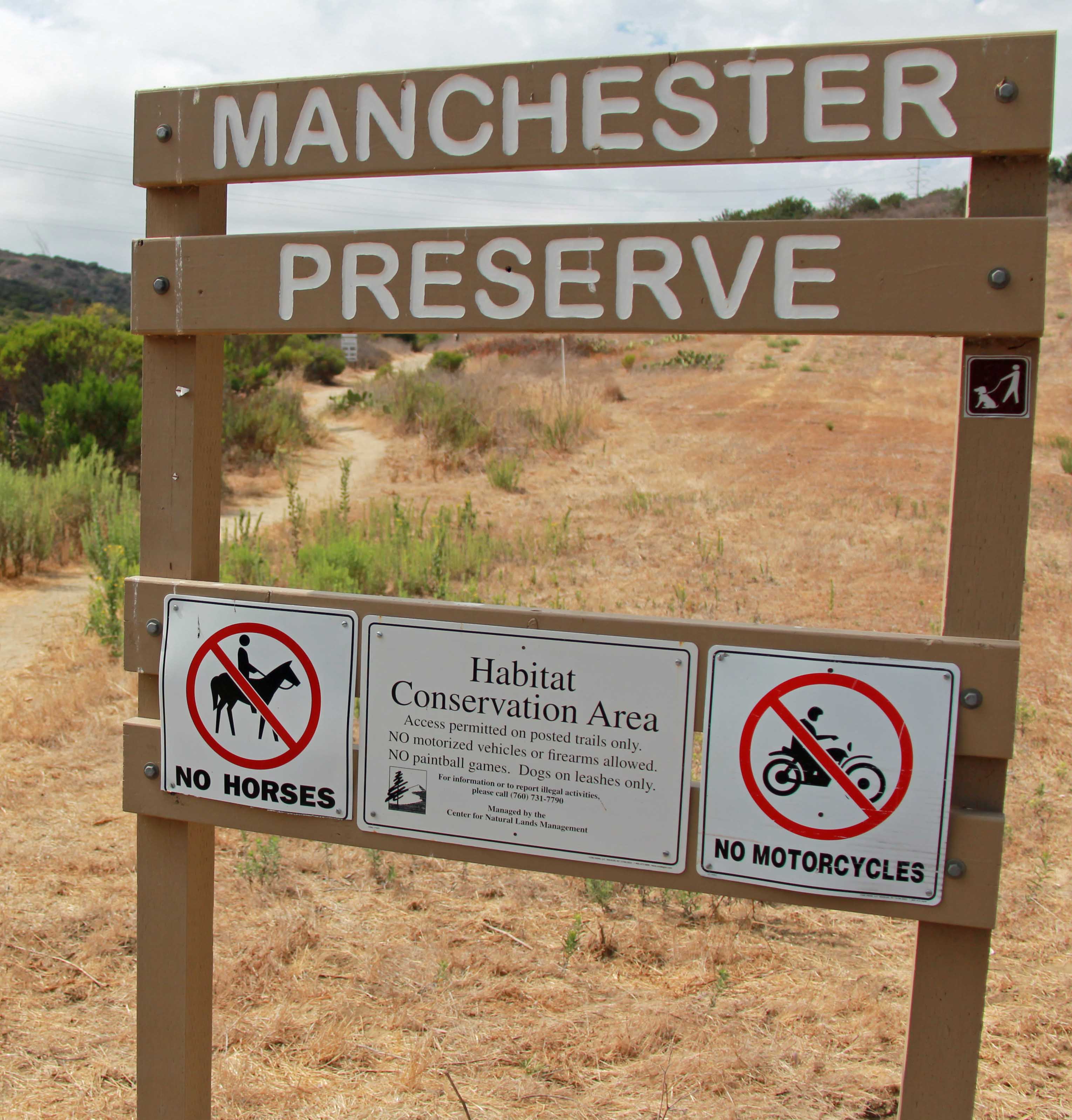
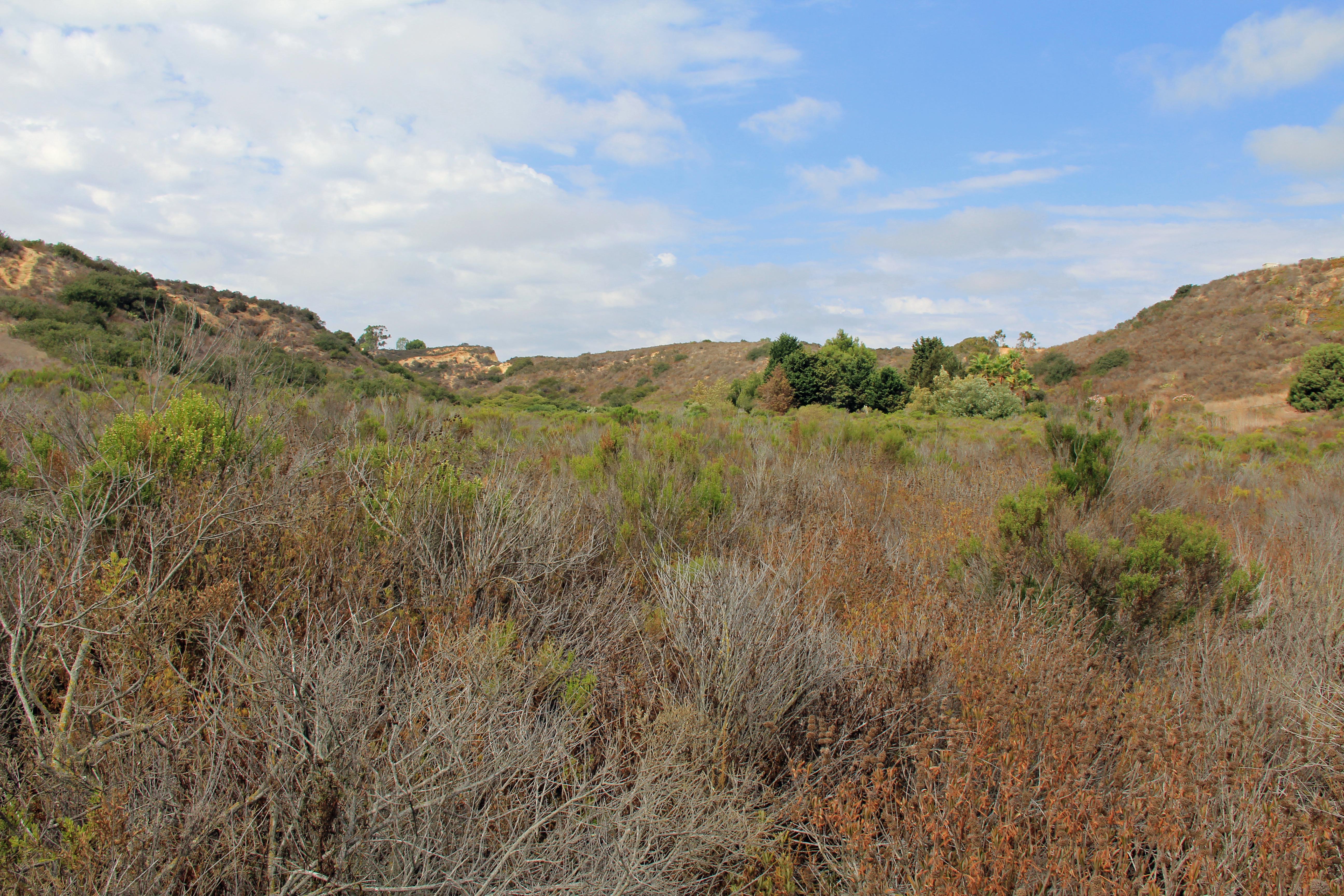
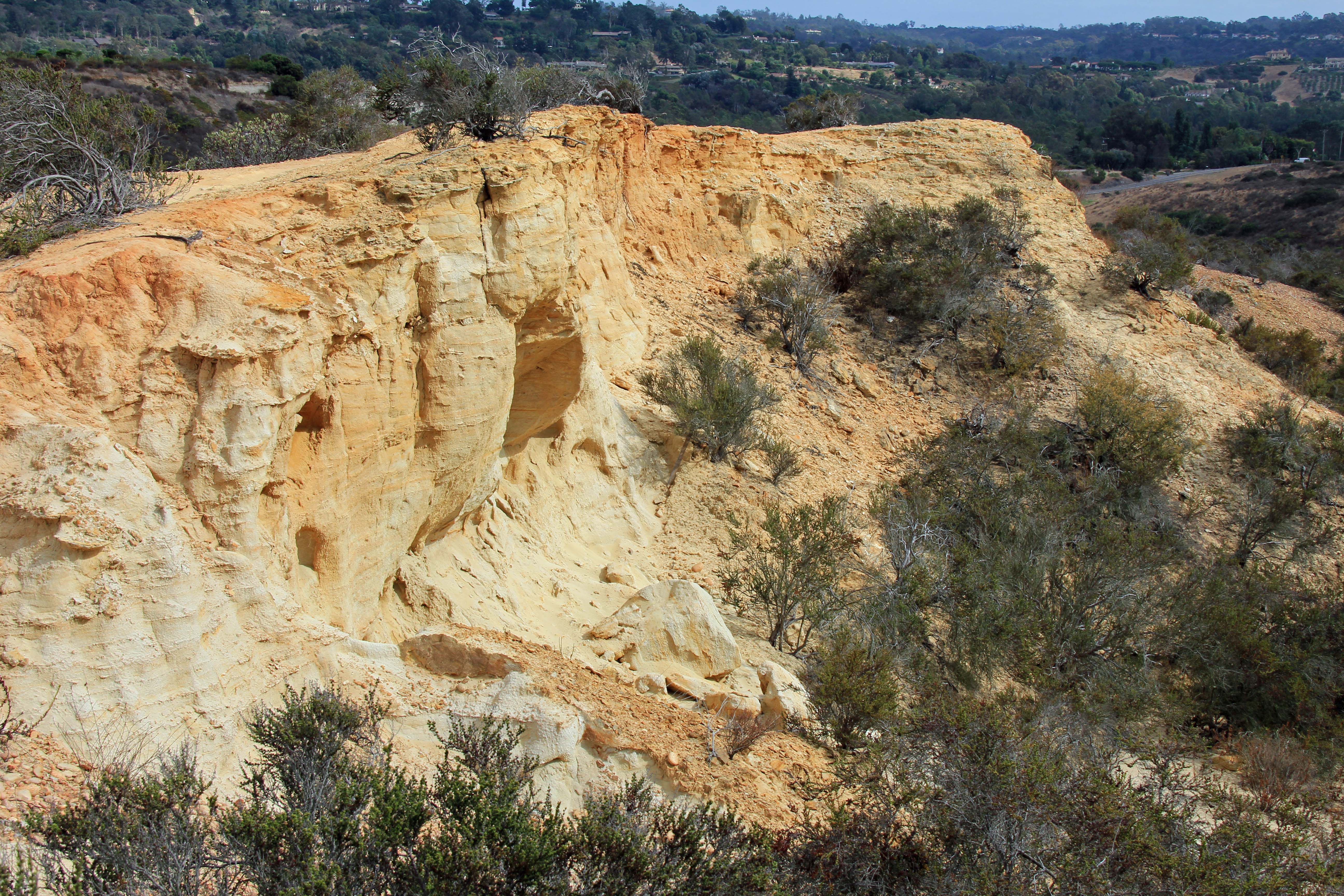
 (Techbilt Construction, Inc.) Upland, Coastal Chaparral. Carlsbad. Service Area: San Diego County including coastal areas.  This 43-acre site is part
of a larger biological open
space
near Palomar Airport. It is managed by the Center for Natural Lands Management. Download Bank Brochure 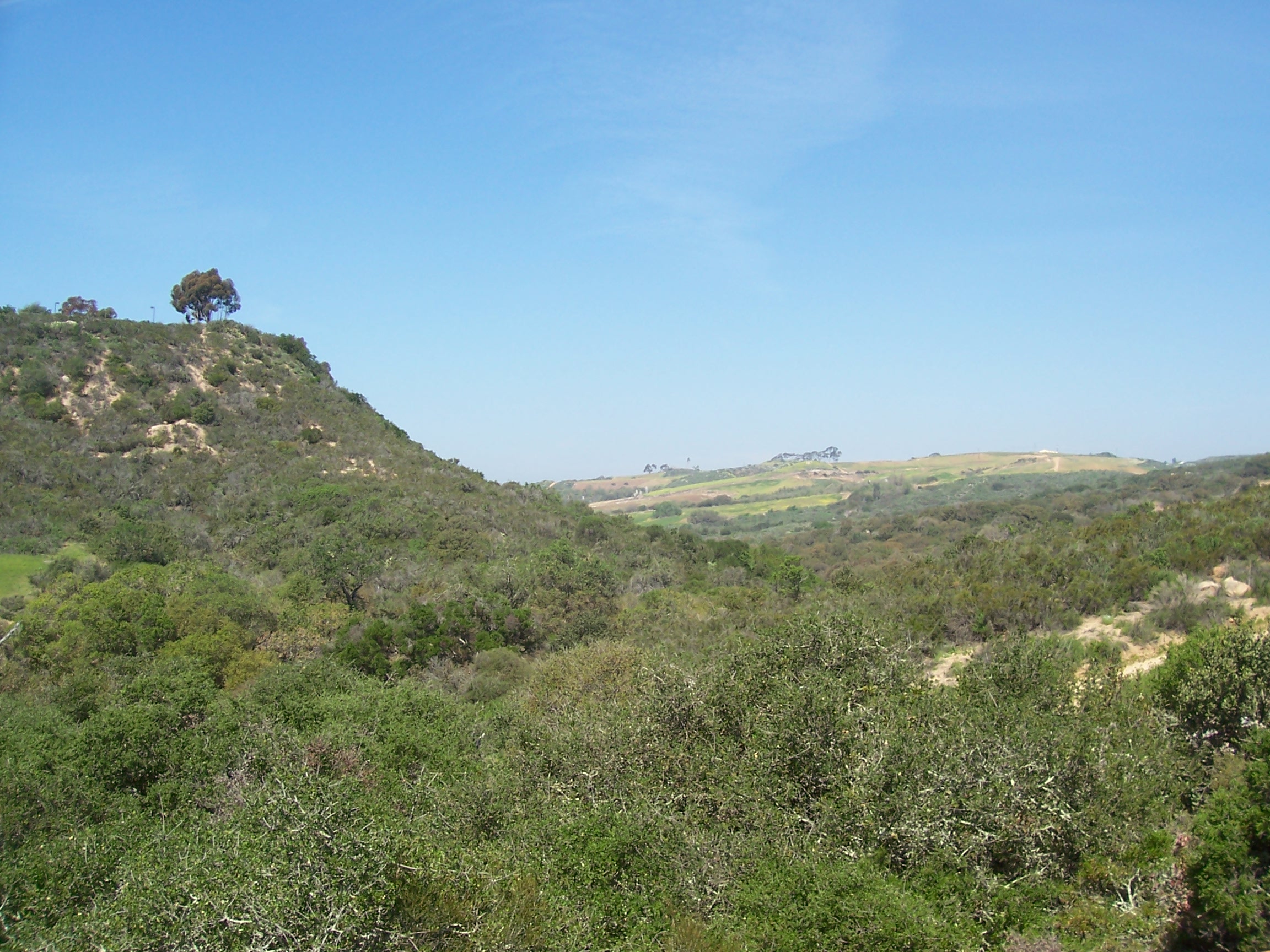 |
|
  |
||||||
|
|||||||||
 |
|
  |
 |
||||||
|
|||||||||
 |
|
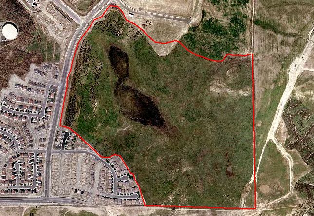
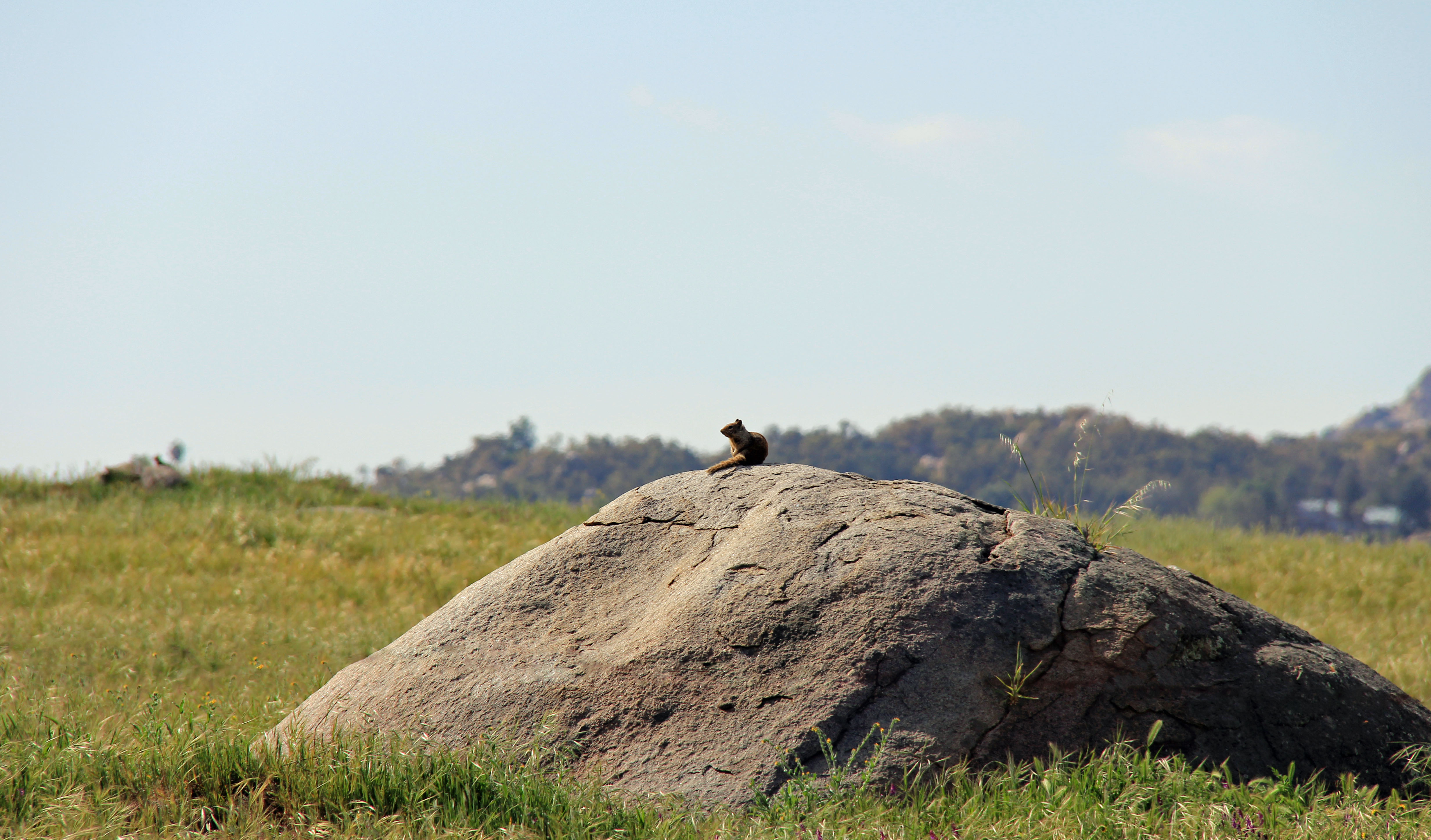
 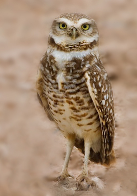 Call (916) 708-2727 or email for pricing Location Map San Diego Habitat Conservancy video on burrowing owl population at the Bank San Diego Union Tribune news article |
   |
||||||
|
|
|||||||||
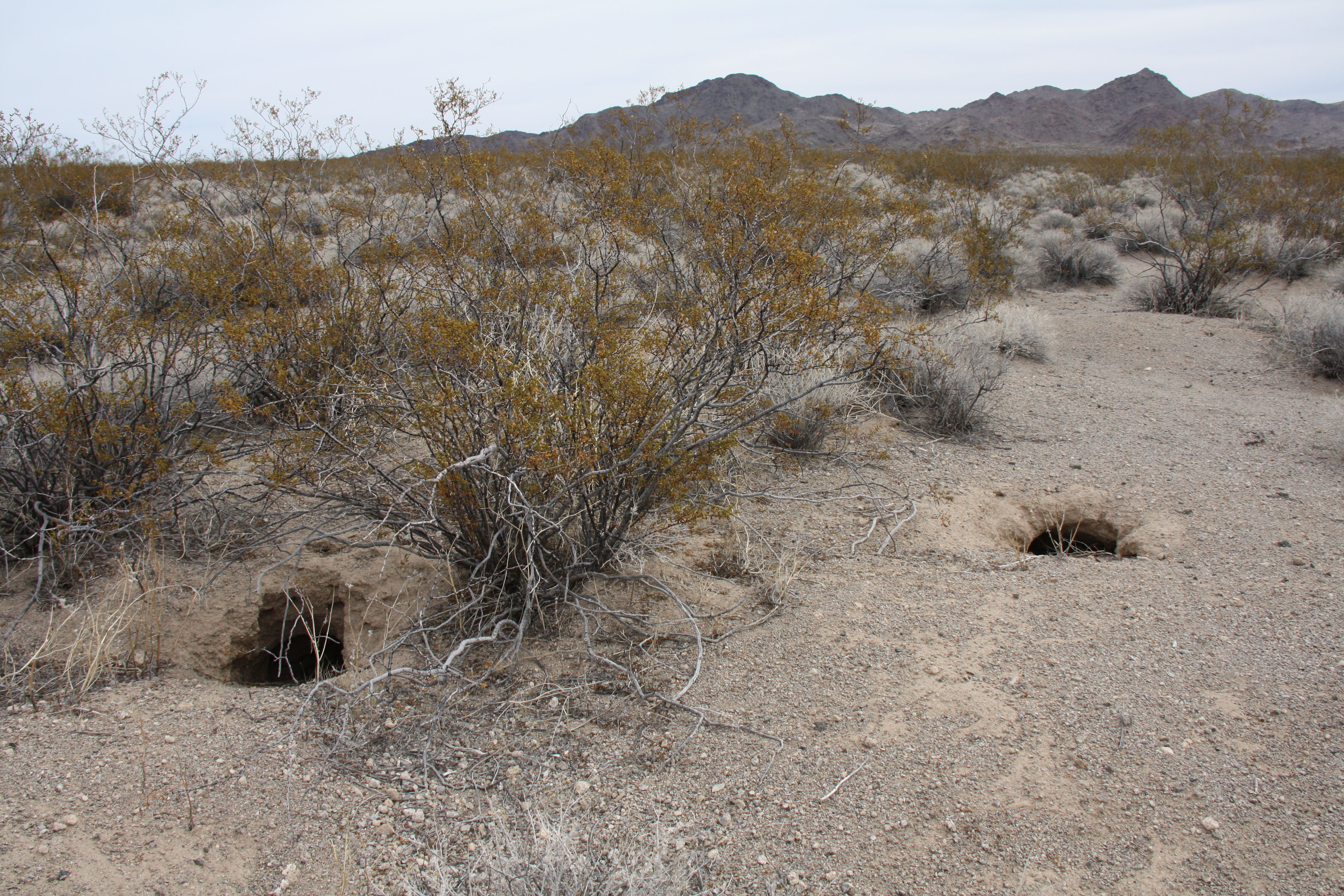 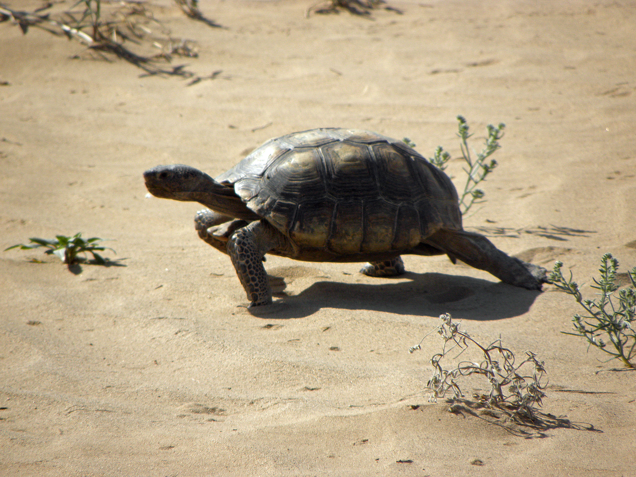 |
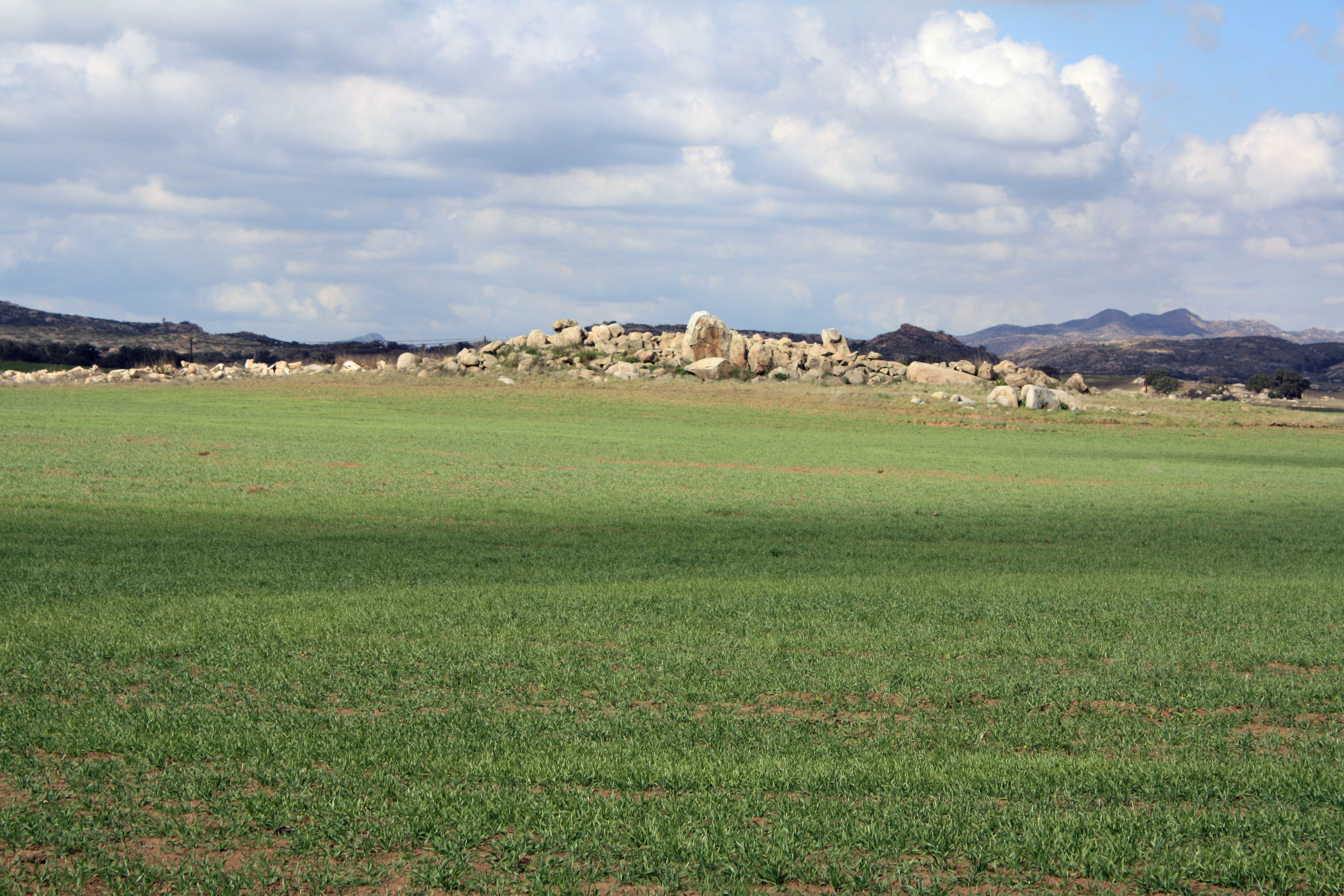
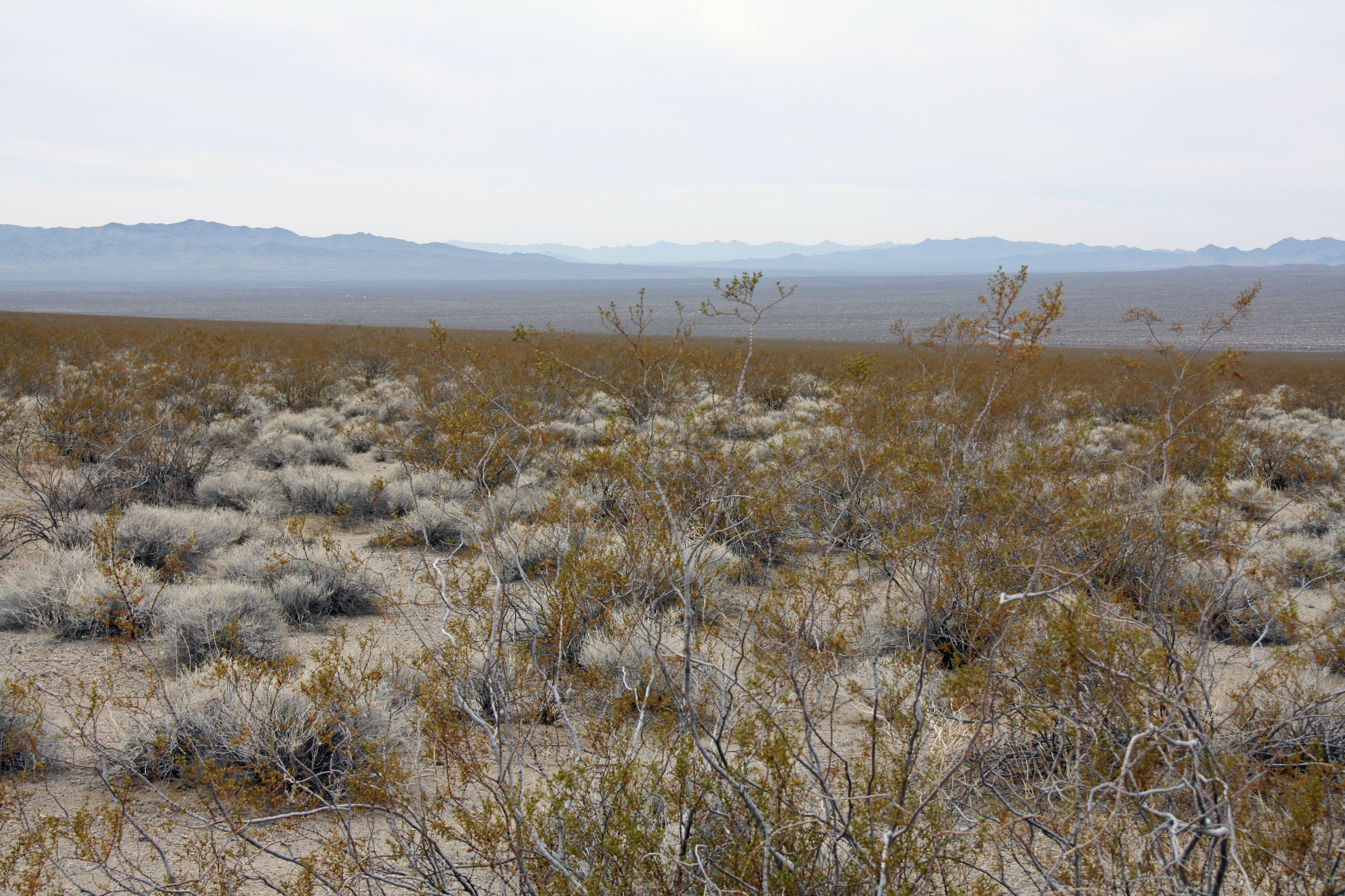
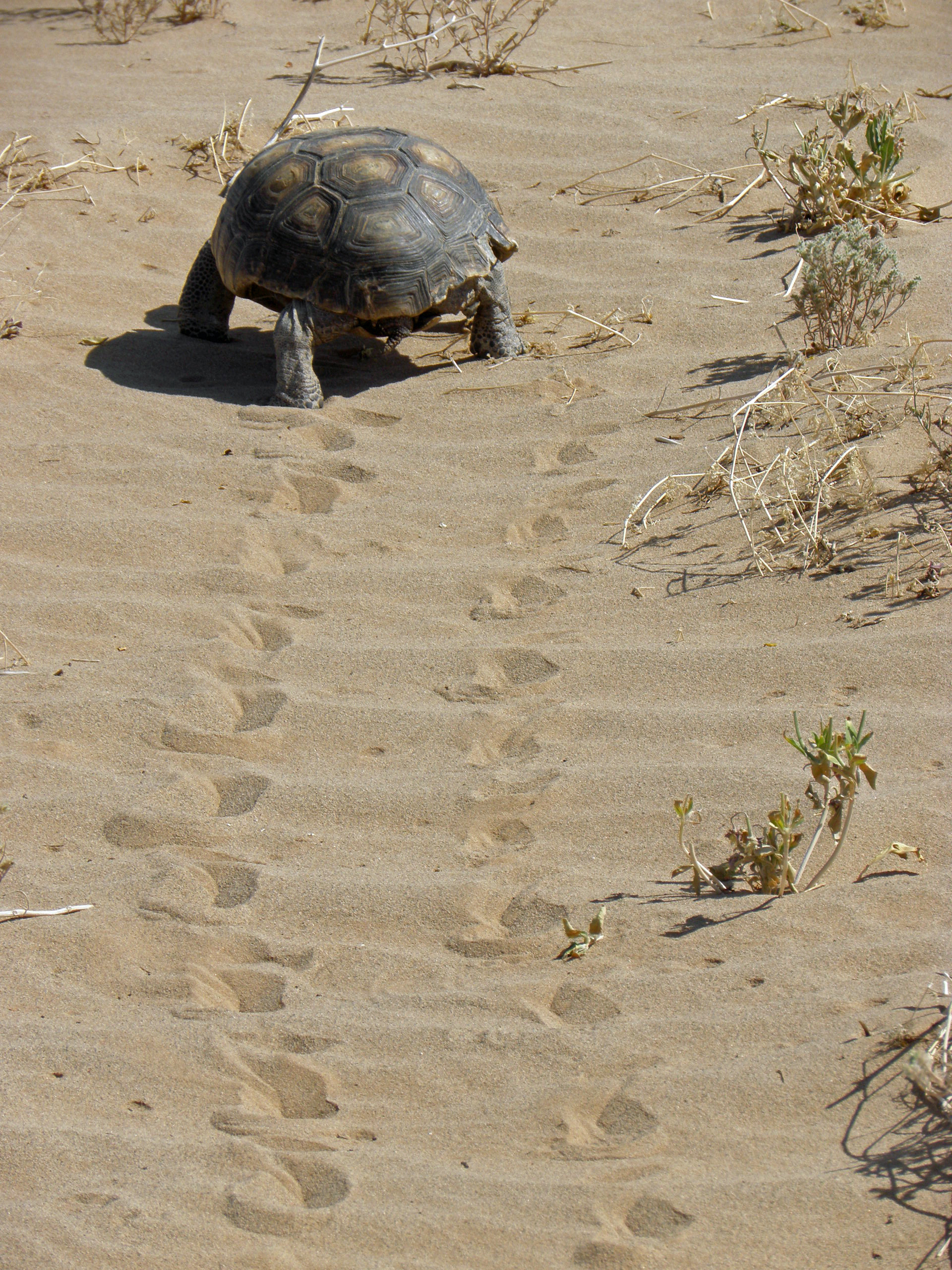
APPROVED BY
CALIFORNIA DEPARTMENT OF
FISH AND WILDLIFE Call or email for prices and other information.  (Cadiz, Inc.) Desert Tortoise & Dry Wash Habitat. San Bernardino County. Service Area: San Bernardino County Desert. Click here for a map of the Service Area. This 7,400-acre bank resides in designated critical habitat for the Desert Tortoise in the County of San Bernardino. Credits are immediately available for impacts to desert tortoise habitat, dry wash, and other desert habitats. |
 |
 |
||||||
|
|||||||||